Writing Samples
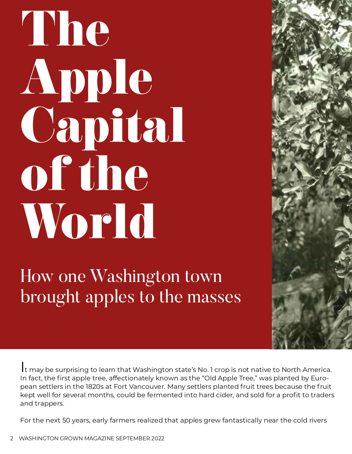
Apple Capital of the World (Wenatchee History) – Washington Grown Magazine, September 2022
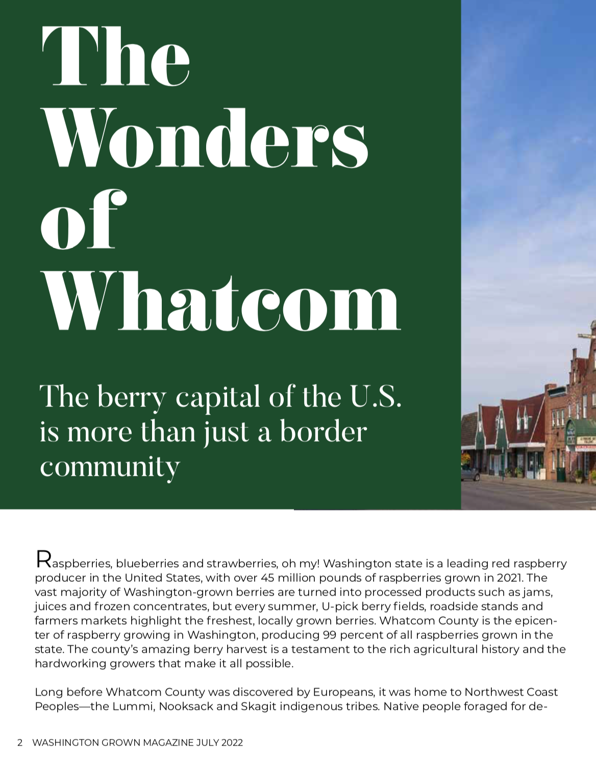
Wonders of Whatcom History – Washington Grown Magazine, July 2022

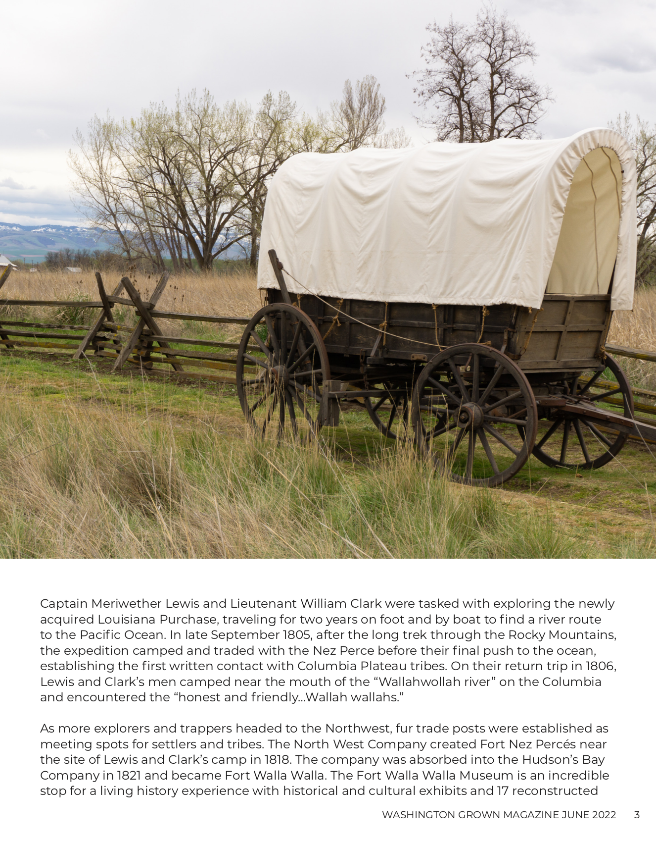
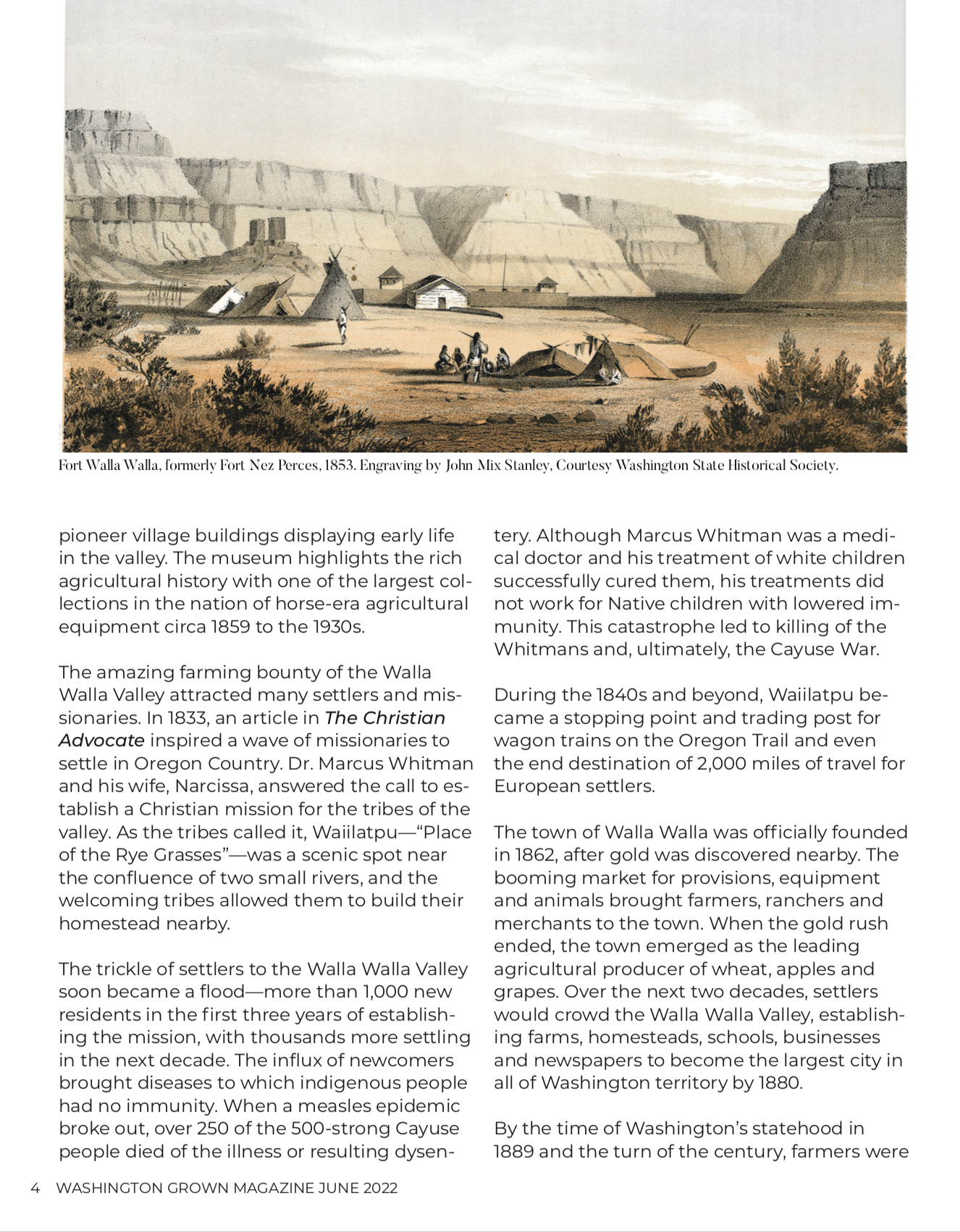
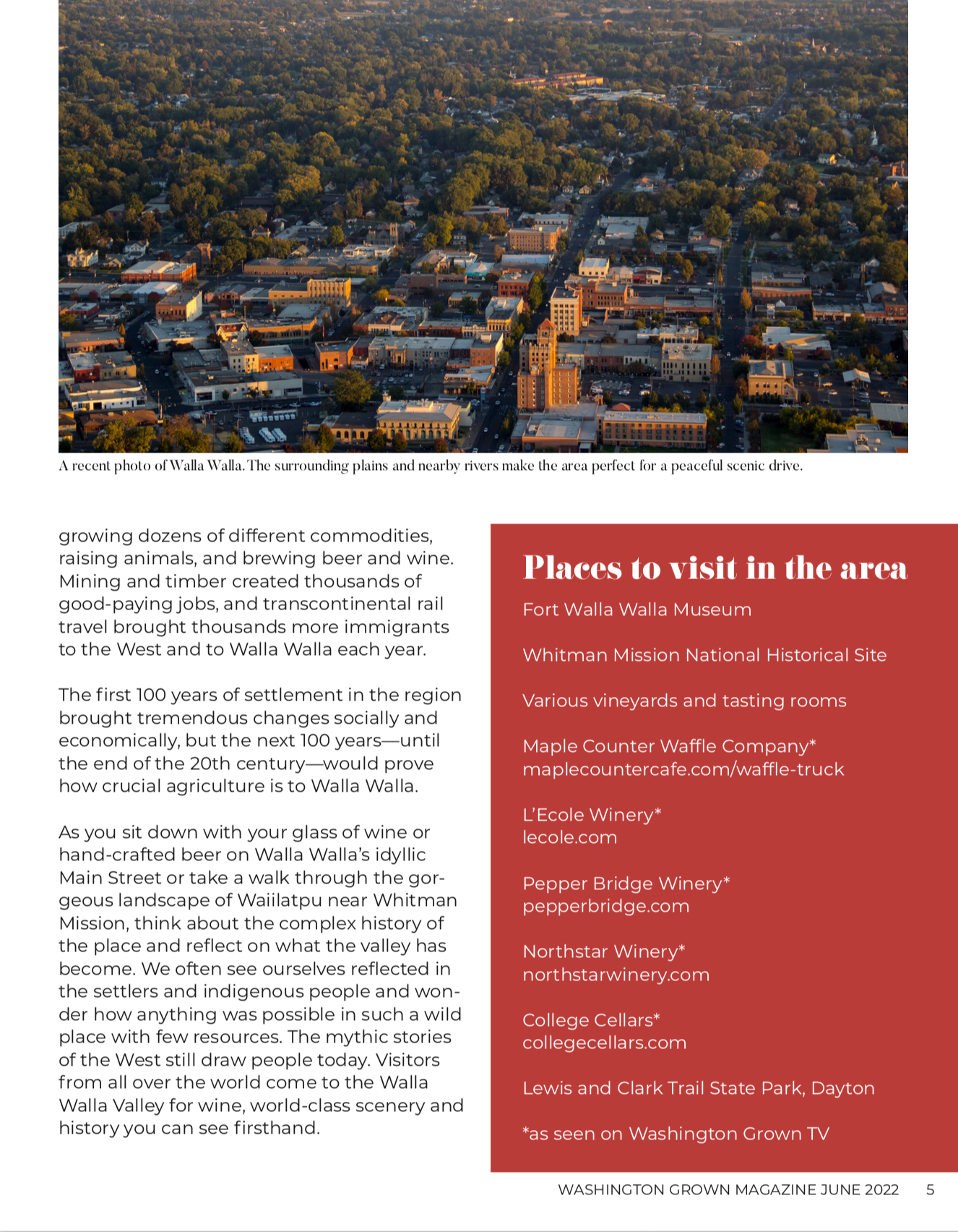
Walla Walla Before Wine – Washington Grown Magazine, June 2022

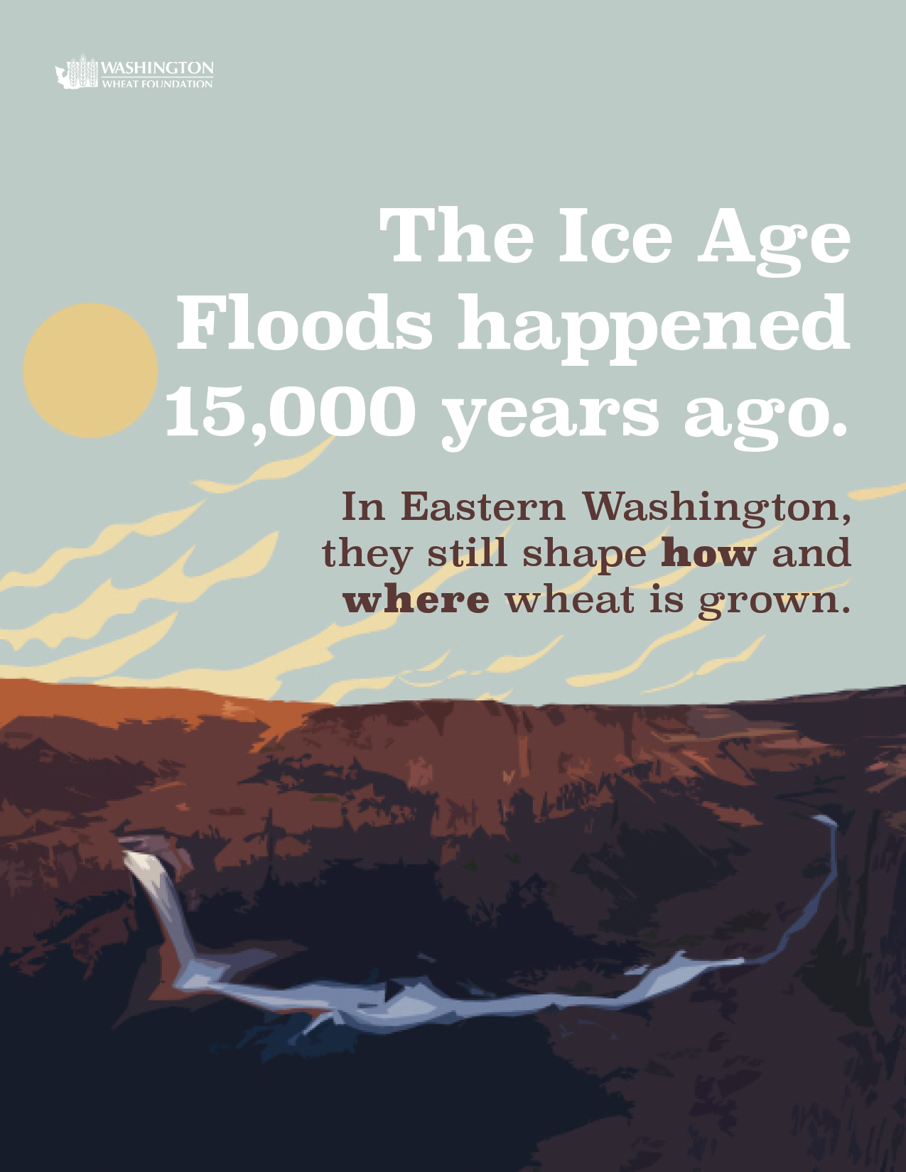
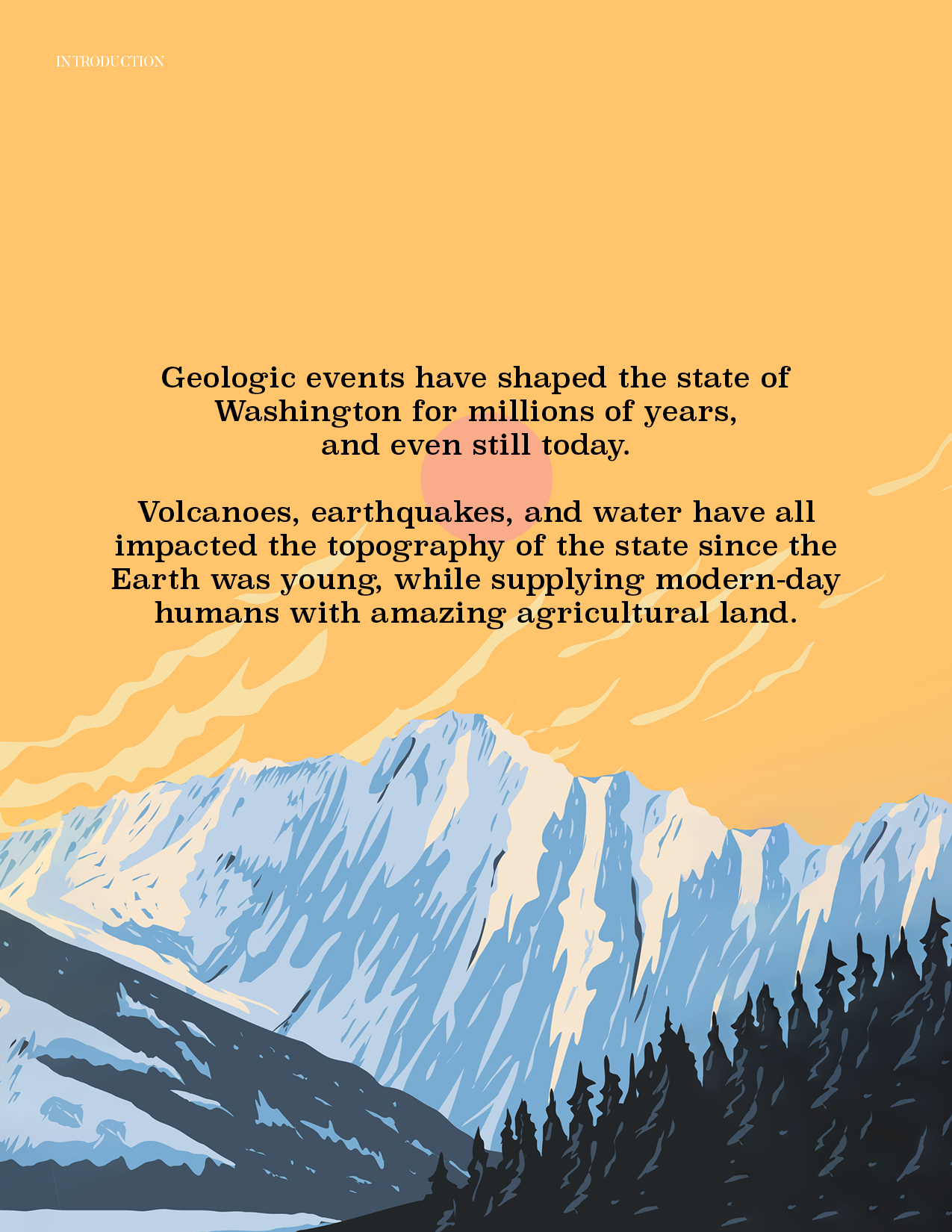
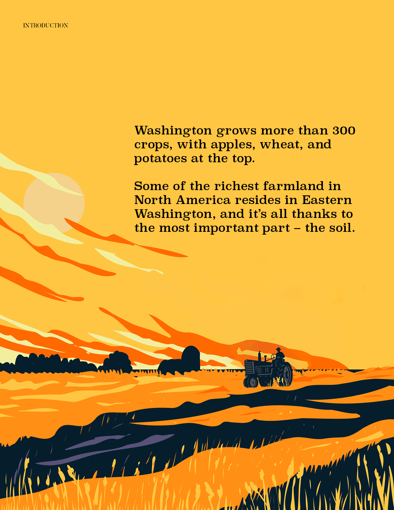
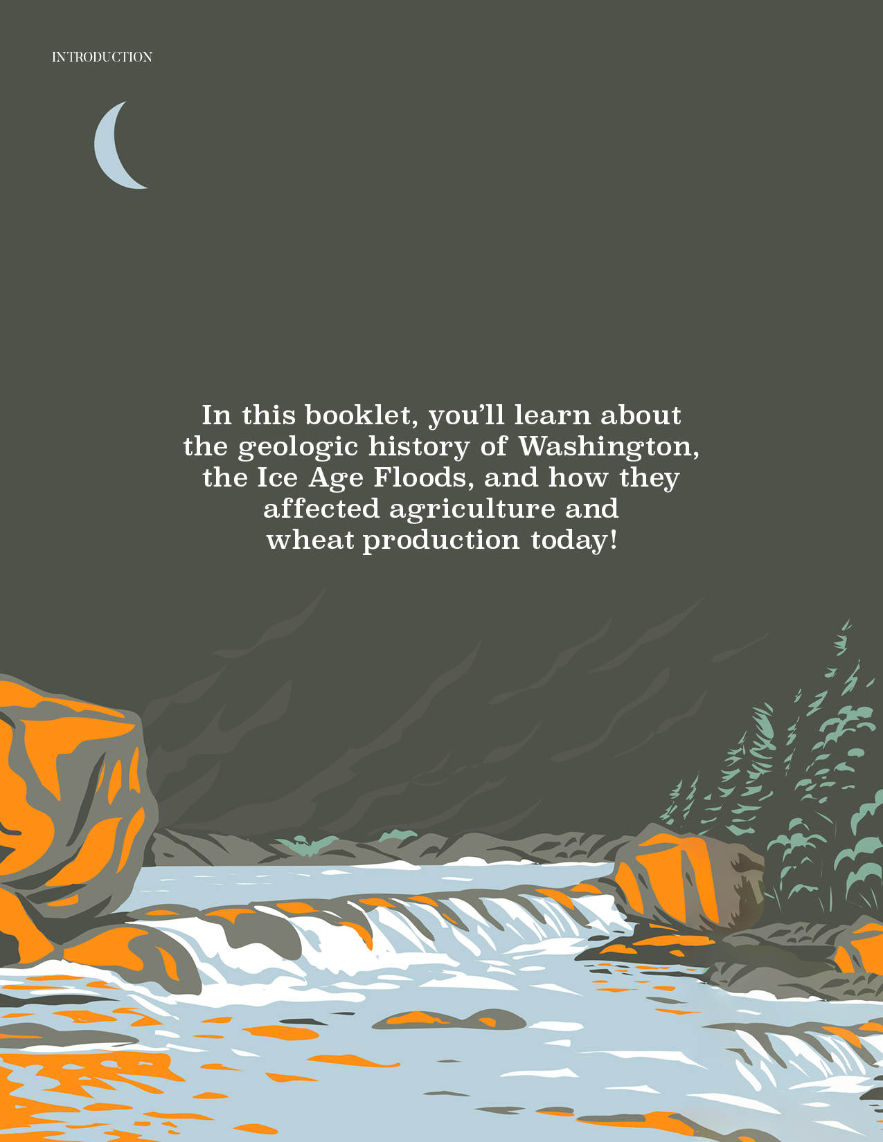
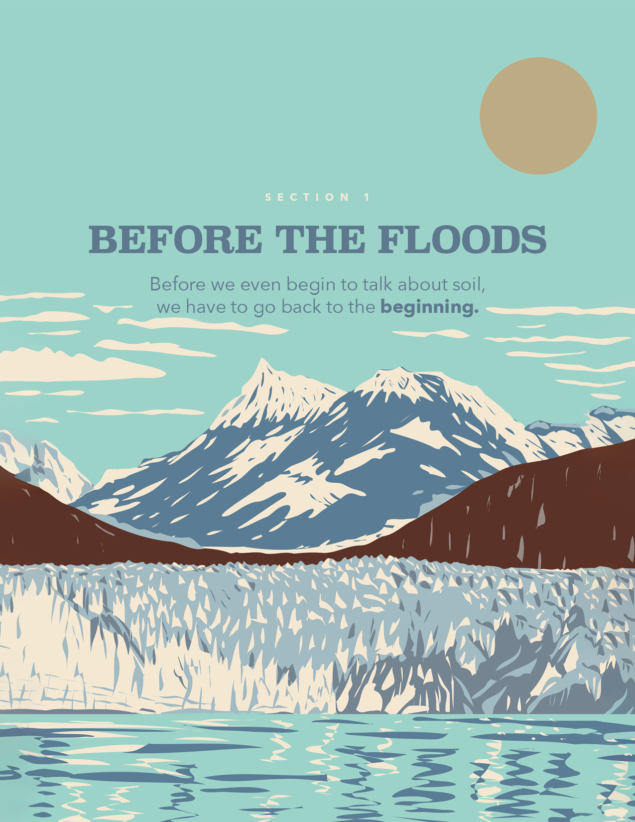
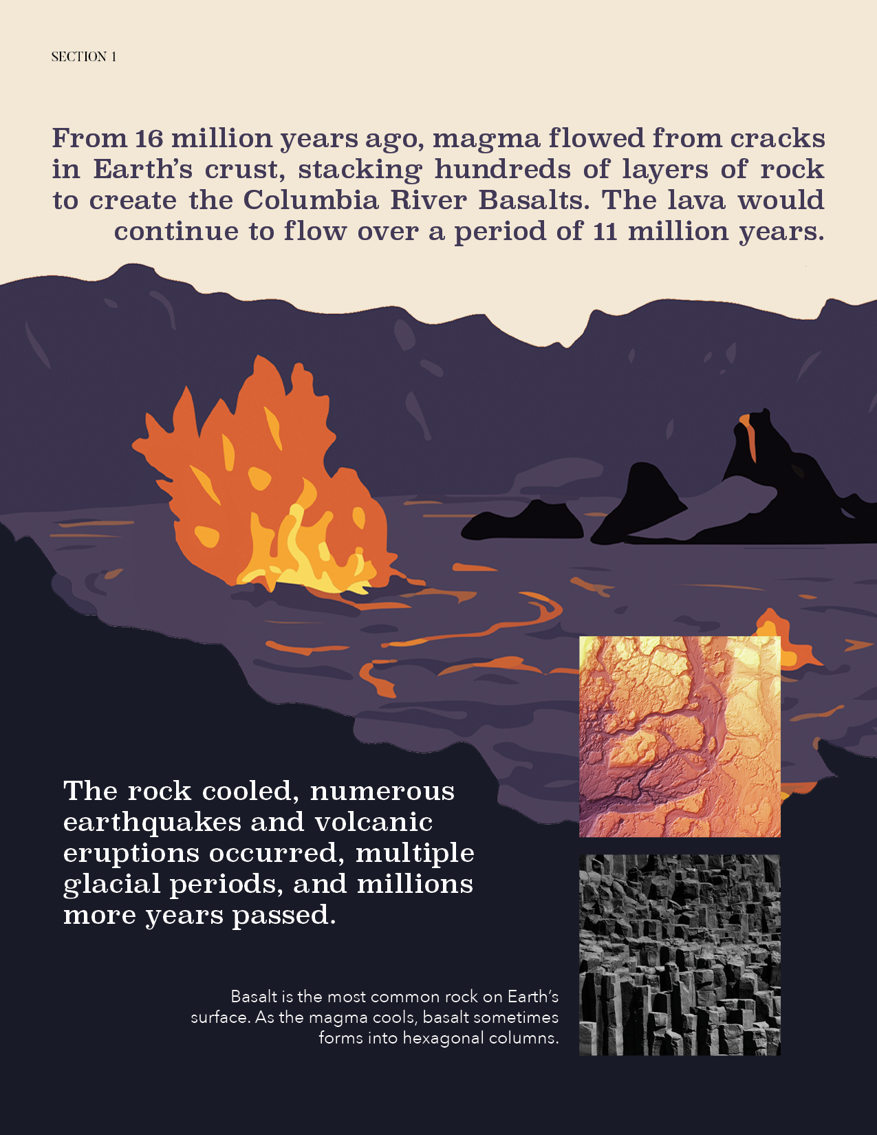
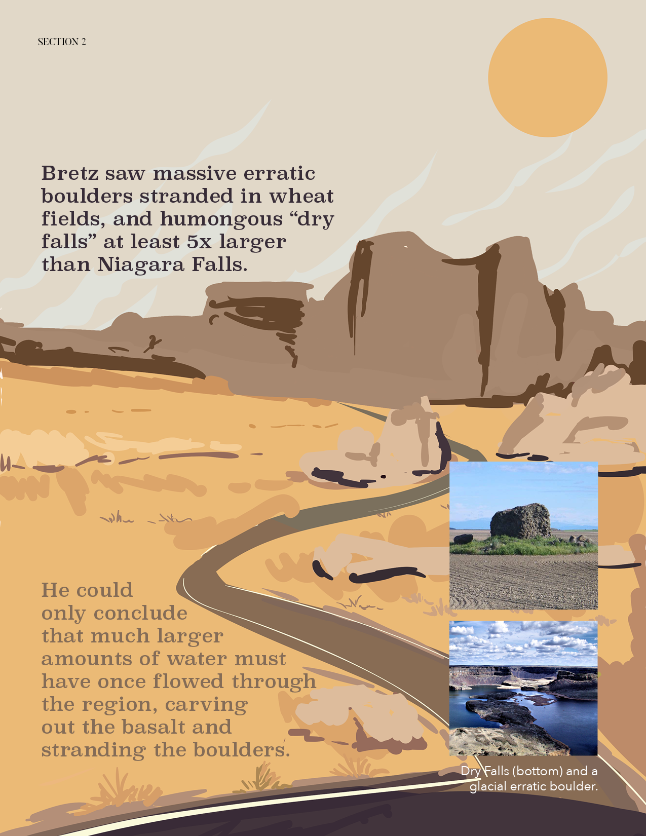
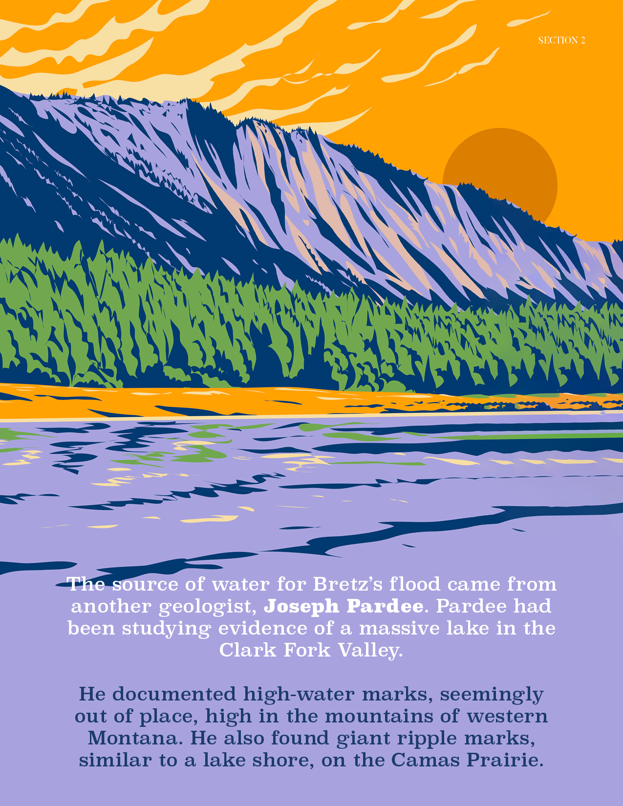
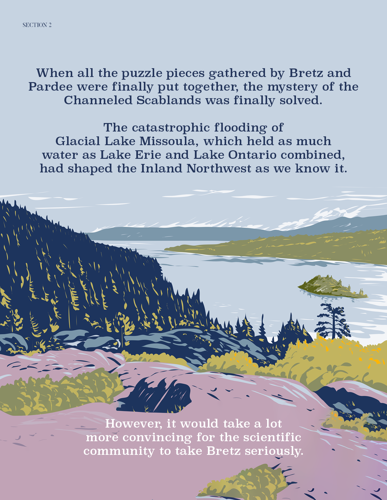
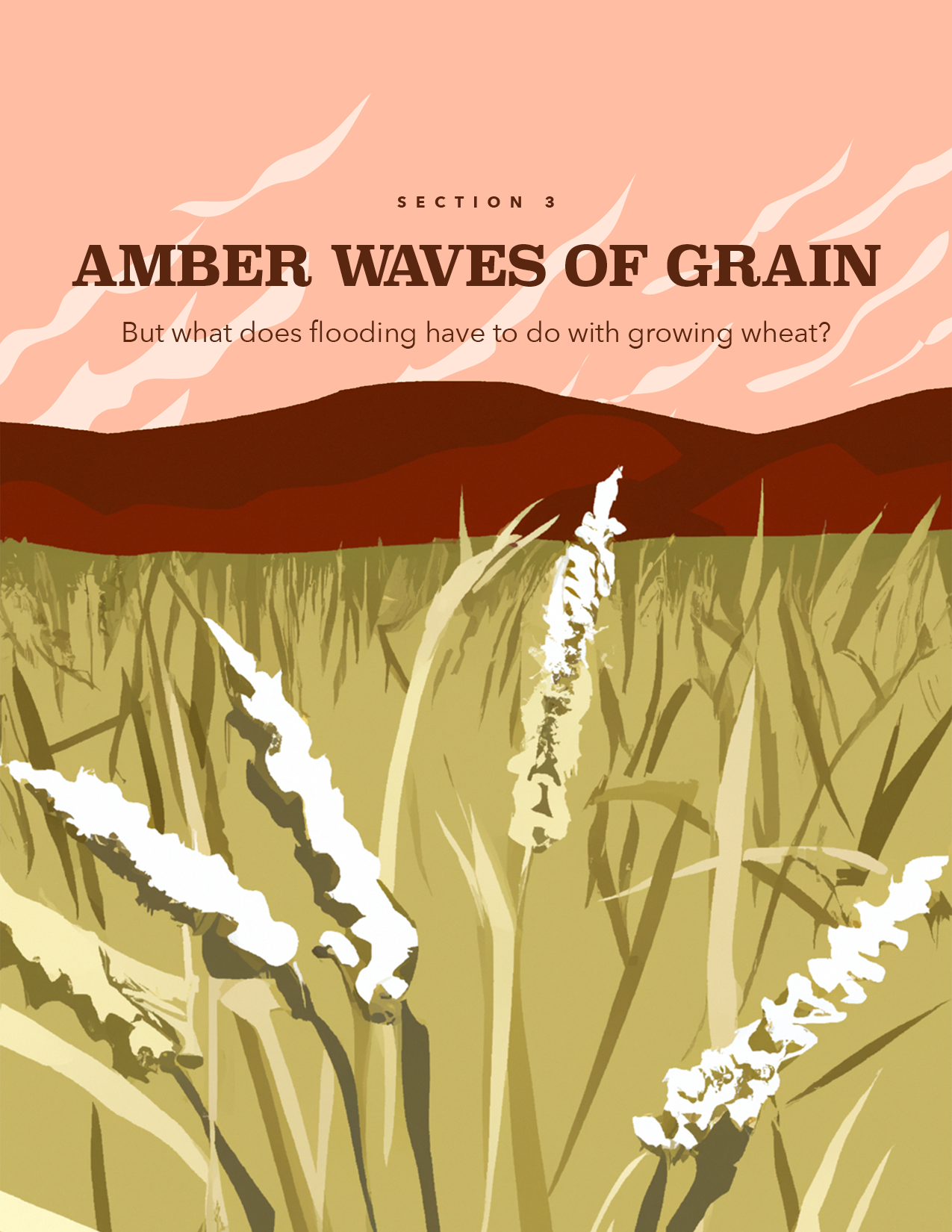
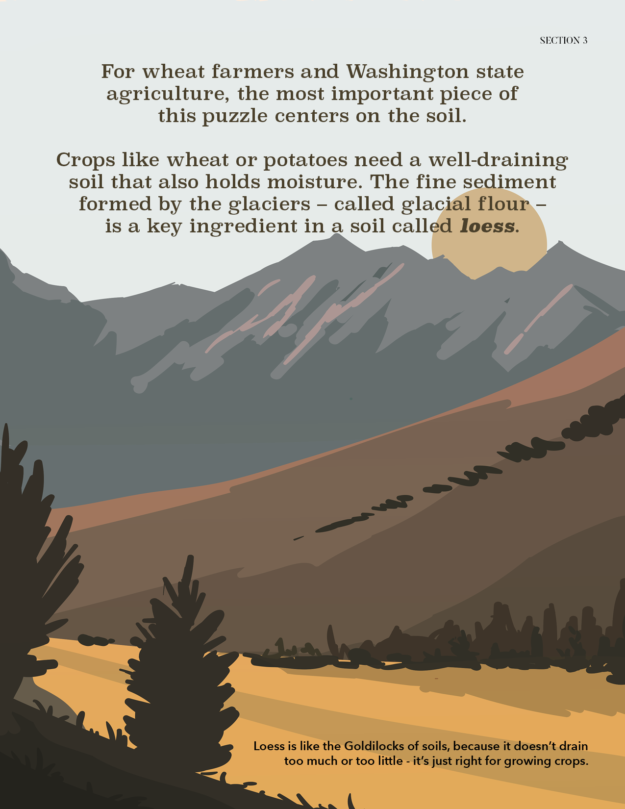
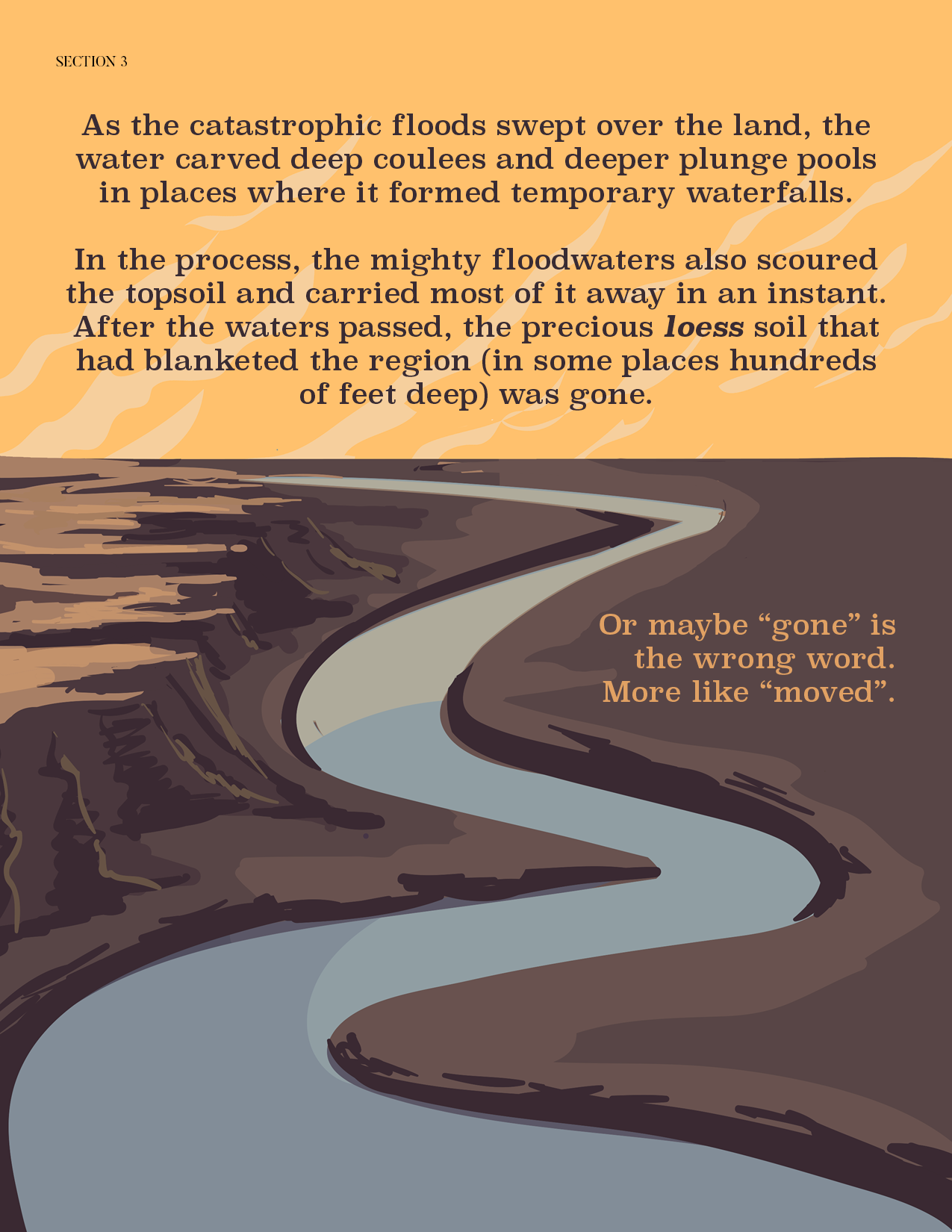
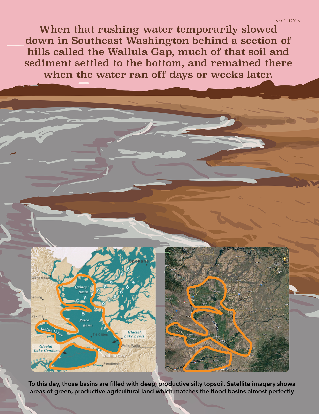
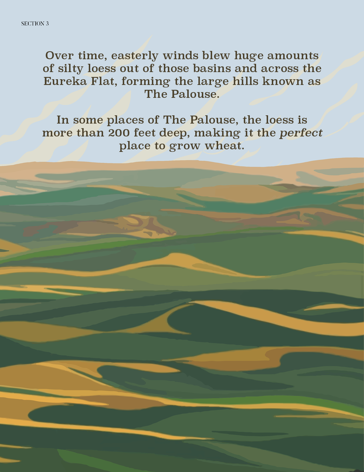
Wrote copy for this Ice Age Floods E-Book from Washington Wheat Foundation. Collaborated with an amazing graphic design colleague to create this learning tool!

Wheat’s Relationship with Dams
Published in Wheat Life Magazine, April 2022
We’ve all heard it: Dams on the Columbia Snake River System are to blame for declining salmon and orca populations, and we should remove them. But wait, should we? Are the dams really to blame? They provide clean, renewable electricity for millions of people, and irrigation and transportation for agriculture; these seem like important aspects to consider.
The potential removal of the Ice Harbor, Lower Monumental, Little Goose, and Lower Granite Dams on the Lower Snake River has been a hot topic for the last decade. Dams face constant criticism from environmentalists and politicians, without considering the farmer. While damming the rivers caused changes to the ecological system and habitat of the rivers, there is also an importance to these hydroelectric projects that will outlast us and provide for future generations.
Did you know the state of Washington’s third largest export is wheat? Huge quantities of grain are shipped by barge down the Snake and Columbia Rivers to the mouth of the Pacific Ocean. Massive bulk ships carry thousands of tons of grain across the sea to countries like Japan and the Philippines, an export valued at $663 million every year. The grain is grown mostly east of the Cascades, and the Palouse Hills of the southeastern part of the state produces more wheat than anywhere else in Washington. This region is covered in thick layers of fine, mineral-rich soil called loess, making it one of the most productive grain growing areas in the country. Coincidentally, the Palouse runs right to the edge of the Snake River — a watershed that plays a vital role in Washington agriculture.
“Barging is the most efficient and environmentally friendly method for moving cargo,” according to the Port of Lewiston. Pricier and less sustainable methods include railroad and semi-truck transportation. For example, one single barge can haul 52,500 bushels of grain, versus 3,500 bushels via railway or 875 bushels on a single truck. More than half of the wheat barged on the 465-mile river highway is carried through one or more locks on the Snake River. The removal of any one of these dams could mean the loss of barge transportation from Lewiston, Idaho to the Tri-Cities in Washington, resulting in rising costs for businesses, farmers, and the consumer – you.
Agriculture is not the only industry benefiting from hydroelectric dams. In the Northwest, 58 percent of our energy comes from renewable hydropower. The energy output of the Snake River system is enough to power 1.87 million homes. Hydropower electricity is cheap and renewable, compared with natural gas, coal, or nuclear, with rates around 3 cents per kilowatt-hour versus the national average of 6 cents. In fact, this ridiculously cheap power convinced tech giants like Microsoft, Yahoo, and Dell to move into rural Quincy, Washington to build giant warehouses for their power-hungry Internet servers and boost the local economy. However, this is only possible with the abundance of renewable energy our rivers produce. Without the hydropower from the Columbia Snake River System, consumers would pay more for less sustainable options.
Let’s examine… What has been done to counteract the ecological impacts of dams in the Columbia Snake River System? In a study done by the U.S. Army Corps of Engineers in 2010, they highlight the work done to improve Columbia and Snake River salmon survival, spending over $800 million in fish passage infrastructure. Improvements like “juvenile bypass systems, surface collection devices, and spill,” with fish ladders, land-based transportation, and migration-conscious outflow schedules. While it is true that wild salmon and steelhead populations are behind historical numbers, it is important to consider that these numbers are rising with each passing year. Scientists in the Western US recognize there are more factors in orca and salmon decline at play than impacts from dams, including ocean climate, Puget Sound urban pollution, overfishing, and plastic waste.
The Bonneville Power Administration has improved fish passage through the eight federal dams on the Columbia, seeing some of the highest rates of fish survival in the last decade. The four Lower Snake River dams are no different, with one estimate of 99 percent survival rate of adult salmon. Power companies – in tandem with federal, state, and local governments – are taking steps to mitigate ecological impacts on Northwest salmon runs, and up the food chain to the Endangered Orca, or Southern Resident Killer Whale. Chinook salmon are orcas’ main summer diet staple. According to a NOAA-funded study in 2021, these fish are crucial to orcas’ ability to hunt closer to shore all year round. Researchers found a correlation between seasonal salmon runs and whales’ migration to deeper waters, likely due to decreased salmon numbers in winter. The study suggests one whale conservation strategy: If seasonal dam spill increased during winter, Chinook numbers would increase and contribute to orcas’ winter range. Again, there are many strategies for scientists, administrators, and policy makers to consider for increasing Chinook salmon populations.
We have come far in terms of sustainable harnessing of power and ecological restoration of our Northwest rivers, but there is much more work to be done. Removal of the four Lower Snake River dams appears to be a costly and ineffective way to restore wild Northwest salmon runs when considering the mitigation that already has been done, and the reality that doing so might result in higher costs, and even more environmental impact. At the end of the day, those costs will be absorbed primarily, not by tech giants and energy conglomerates, but by the wheat farmer – and by you the consumer.
For sources visit this document.
Washington Wheat’s Secret Weapon
Published in Washington Wheat Newsletter, March 2022
If you’ve been living in the Northwest long enough, you have probably heard the Ice Age Floods story; 2000-foot-deep Glacial Lake Missoula drained catastrophically into Idaho, Washington, and Oregon, permanently scarring the landscape and wreaking havoc for eons. More than 15,000 years have passed since these monstrous events, but the evidence is still all around us, as shown in Washington’s bountiful wheat crop and the incredible soil that makes it possible.
The proof is in the dust! You’ve seen it, right? This superfine, silty, windblown sediment is called loess. (Don’t try to pronounce it because even geologists can’t agree.) Loess is the Goldilocks of soils, with perfect-sized particles for growing crops. It is hundreds of layers thick in the Palouse Hills, helping the southeast corner of the state produce more wheat than the rest combined. Washington’s plentiful agriculture is the result of millions of years of geology, a little bit of luck, and just the right soil for the job.

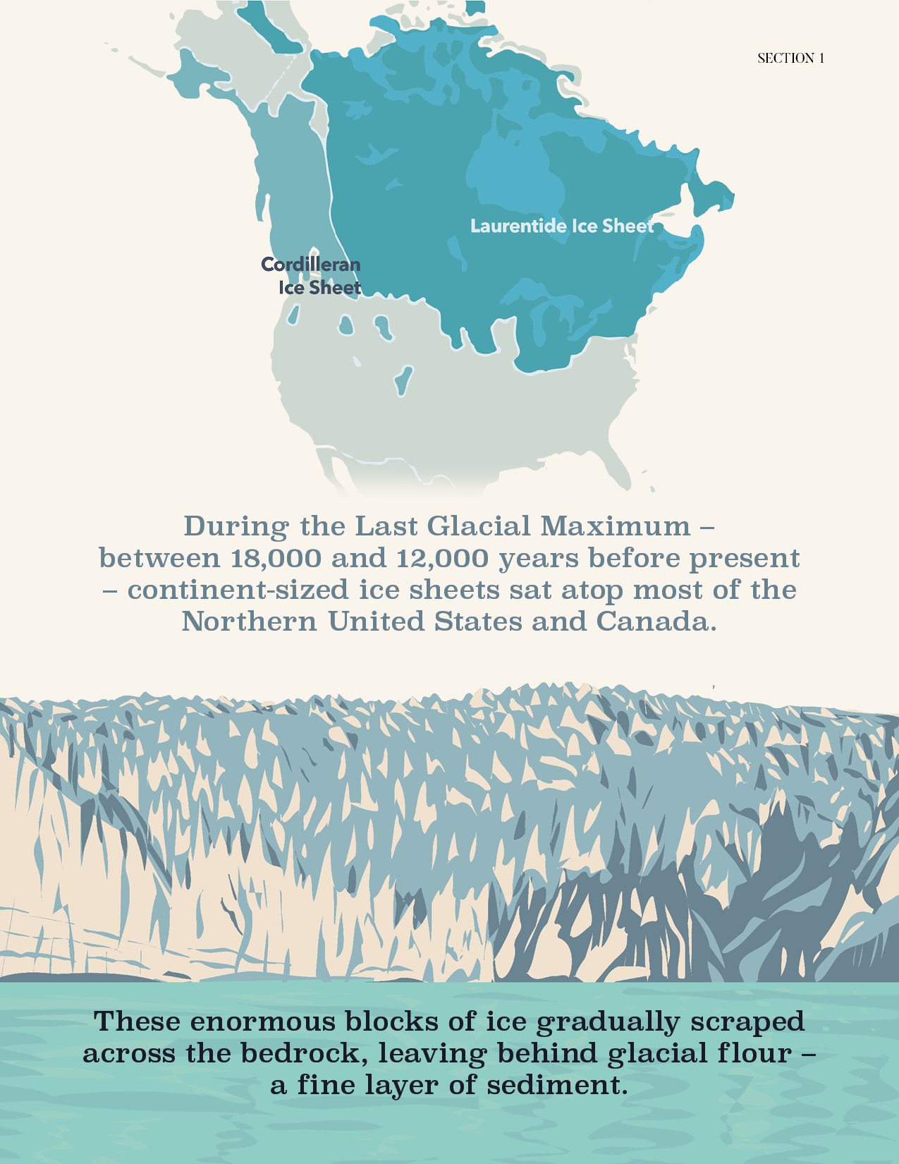
The Cordilleran Ice Sheet stretched the expanse of the northern United States over 100,000 years before present.
How did this loess sediment end up blanketing Eastern Washington? For the answer, let’s go back 100,000 years to the Pleistocene epoch, when enormous, continent-sized sheets of ice covered most of the northern United States. The crushing weight of the Cordilleran Ice Sheet (left) ground the bedrock into silty glacial flour and left it behind. This happened over and over for millennia, until one day… catastrophe struck.

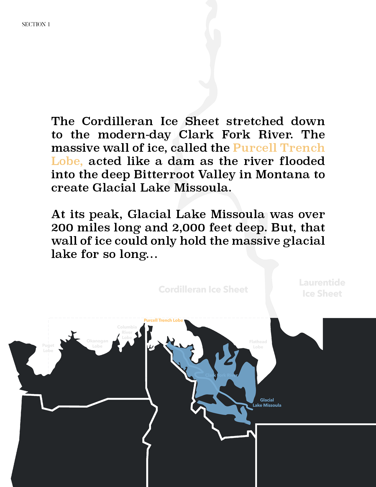
Glacial Lake Missoula sat in the Bitterroot Valley of Montana, over 2000 feet deep at the height of the Pleistocene.
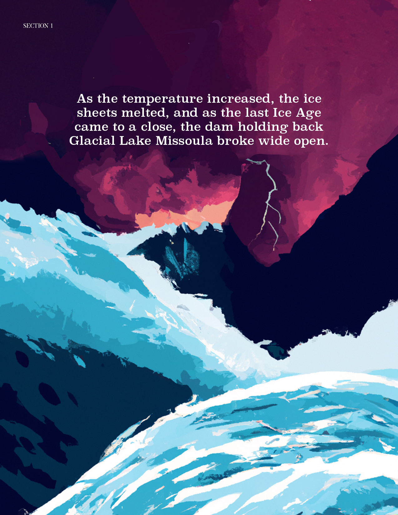
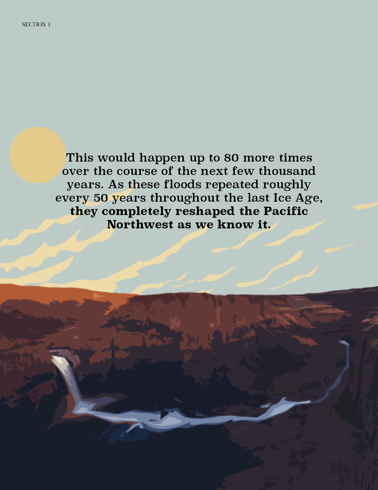
At the end of the last Ice Age, several massive glacial lakes existed in America. Glacial Lake Missoula (right) sat in the Bitterroot Valley in Montana as the Clark Fork River backed up against a dam of ice, formed by the Purcell Trench lobe of the ice sheet. As the lake grew, eventually the ice dam broke open, sending thousands of tons of water, trees, rock, and debris flowing across the landscape at highway speeds of up to 70 cubic miles per hour. The first flood was the biggest, carving the Grand Coulee and the Columbia River Gorge. Geologists use core samples taken from the Astoria Fan in the Pacific Ocean to estimate that the ice dam failed, refroze, and failed repeatedly more than 80 times. All that water and glacial silt had to go somewhere.

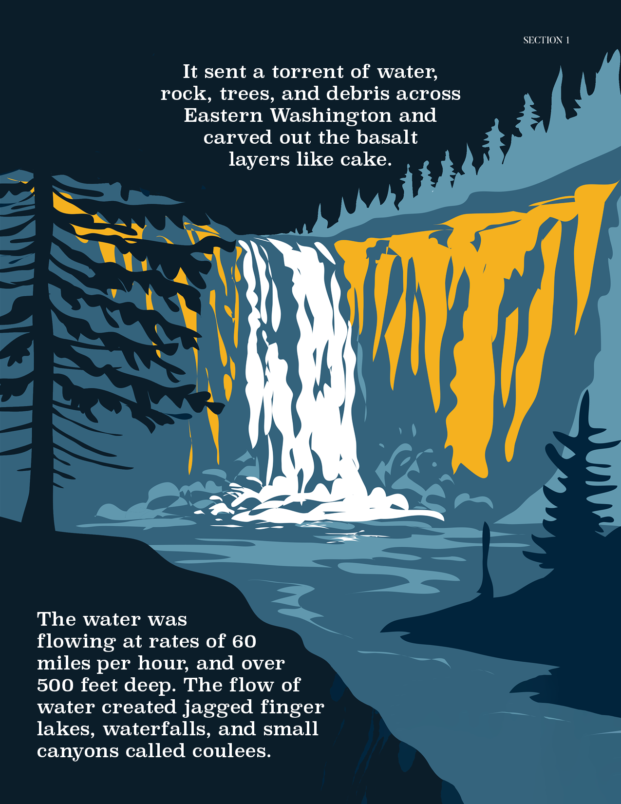
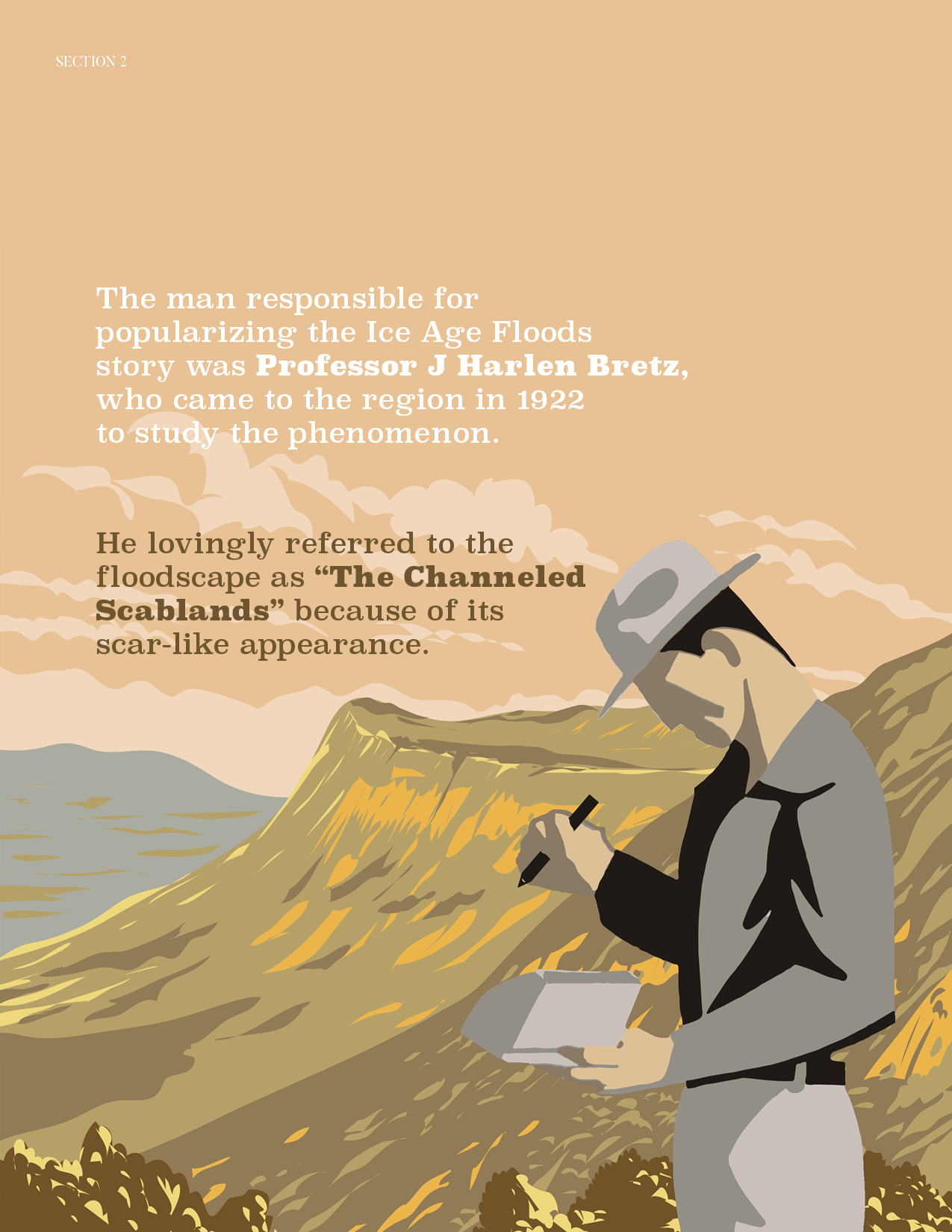
The Channeled Scablands were created by the massive outflow of water from Glacial Lake Missoula.
The cataclysmic aftermath of the floods scoured away the topsoil down to the basalt bedrock, carving the Channeled Scablands—literal scars on the Earth (left). Water pooled into deep channels and gullies, with the silty glacial sludge settling on the bottom. Over the next few thousand years, the planet warmed, evaporating the lakes and leaving behind the dusty, fertile loess—layer upon layer of amazing soil for growing wheat.
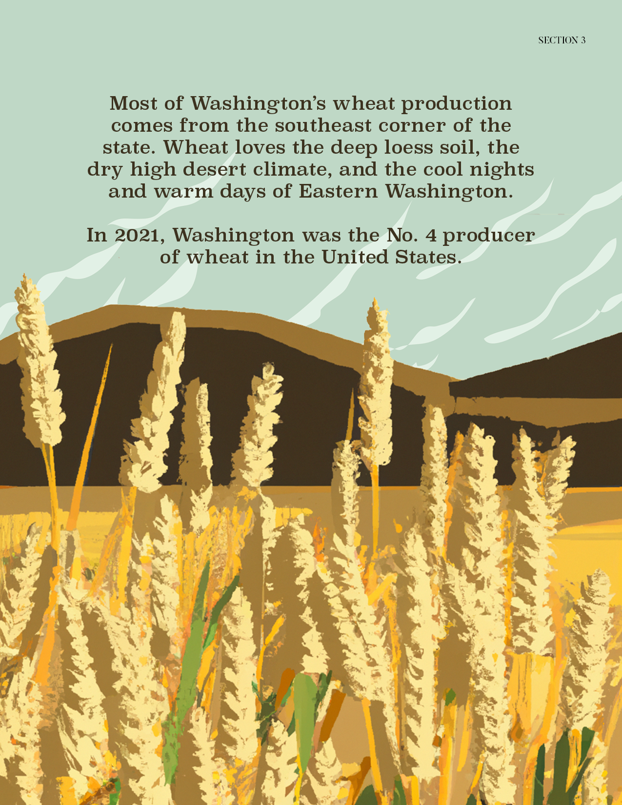
But wait… according to the map, the Palouse didn’t even experience the floods! That’s correct. It’s the reason why southeast Washington is such an agricultural powerhouse today with all its wineries and wheat fields.
Simply because the floods didn’t scour the topsoil away, the soil in the Palouse is 250 feet thick in some places. Instead, the powerful winds from the Cascades whipped the dry, fertile loess deposits into dunes, creating the rolling hills we see today. Silty soil like loess is highly desired for agriculture, as it contains important minerals and prevents water erosion. It’s the Goldilocks soil, with just the right-sized particles for retaining moisture and stabilizing roots.
For most people who aren’t farmers, dirt is just, well, dirt. We don’t put much thought into why crops grow well in certain places, and we definitely don’t focus on the soil as the reason. In Eastern Washington, however, we should think about our soil and how it got here. We should explore our geology and history to help us learn how to grow better wheat. But just think… how lucky we are to have this geologic masterpiece right in our backyard, growing some of the highest quality wheat in the world!
Visit the website to learn more.